
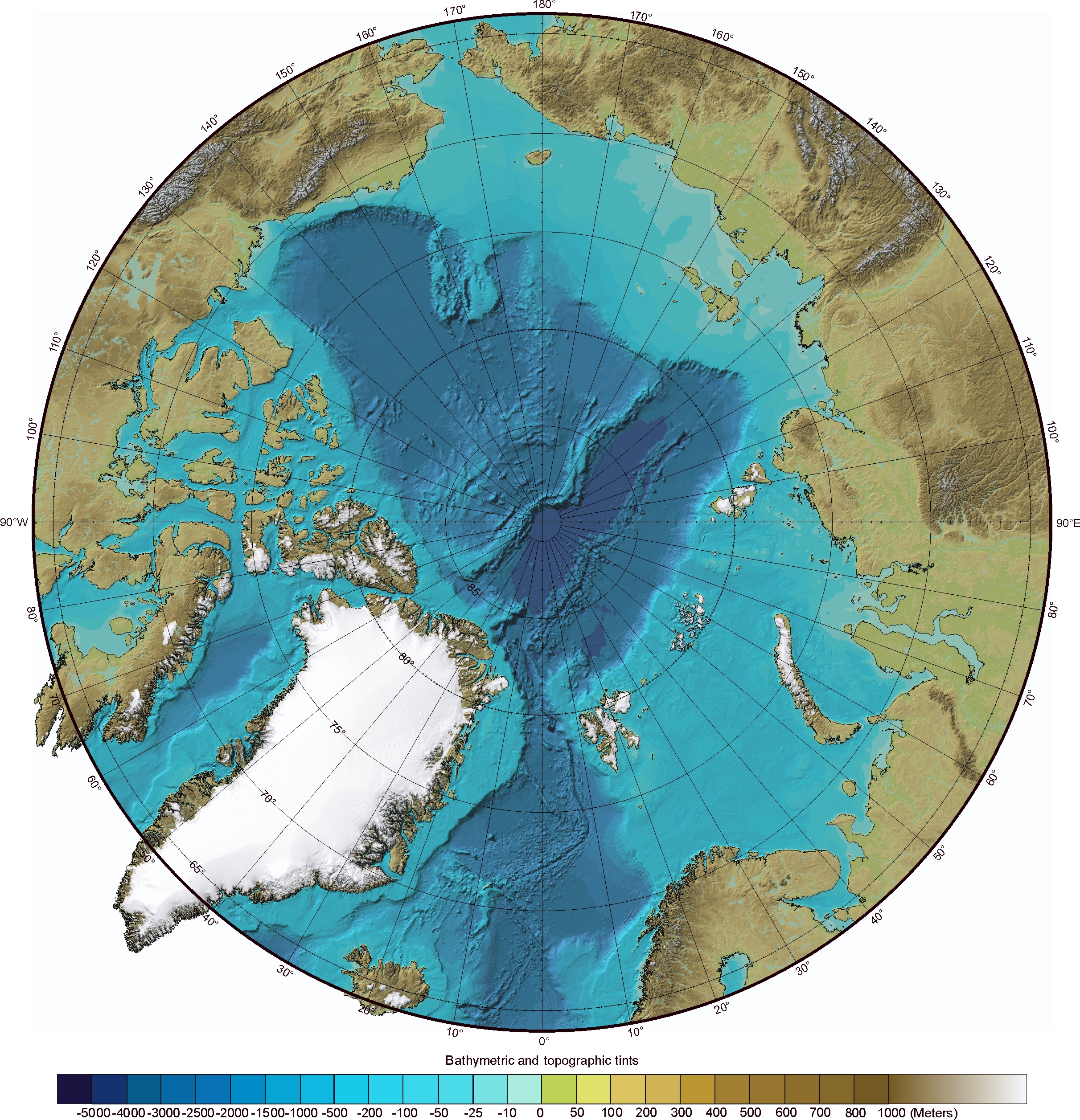
image: Map showing the area north of Alaska surveyed by NOAA and University of New Hampshire researchers during expeditions in 2003, 2004 and 2007. view more
Credit: UNH/NOAA
DURHAM, N.H. – New Arctic sea floor data released today by the University of New Hampshire and the National Oceanic and Atmospheric Administration suggests that the foot of the continental slope off Alaska is more than 100 nautical miles farther from the U.S. coast than previously assumed.
The data, gathered during a recent mapping expedition to the Chukchi Cap some 600 nautical miles north of Alaska, could support U.S. rights to natural resources of the sea floor beyond 200 nautical miles from the coast.
“We found evidence that the foot of the slope was much farther out than we thought,” said Larry Mayer, expedition chief scientist and co-director of the Joint Hydrographic Center at UNH. “That was the big discovery.”
Coastal nations have sovereign rights over the natural resources of their continental shelf, generally recognized to extend 200 nautical miles out from the coast. The Law of the Sea Convention, now under consideration in the U.S. Senate, provides nations an internationally recognized basis to extend their sea floor resource rights beyond the foot of the continental slope if they meet certain geological criteria backed up by scientific data.
The Bush administration supports approval of the convention.
The Arctic mapping expedition, conducted between Aug. 17 and Sept. 15, 2007 aboard the U.S. Coast Guard Cutter Healy, employed sophisticated echo sounders to survey this relatively unexplored region, providing much finer-grained data and images than existed previously. The data are available at http://www.ccom.unh.edu.
“We now have a better geologic picture of what’s happening in that area of the Arctic,” said NOAA Office of Coast Survey researcher Andy Armstrong, co-chief scientist on the expedition and NOAA co-director of the Joint Hydrographic Center. “These are valuable data for NOAA and the United States, and I’m pleased that we’re making them available for anyone to use.”
Mapping more than 5,400 linear nautical miles, the research team also found scours on the Chukchi Cap some 1,300 feet below the surface, likely caused by the scraping of an ice sheet on the sea floor, and deep pockmarks of unknown origin at a depth of 1,600 feet.
“The sea floor is full of mysteries, and beneath the Arctic ice cap those mysteries are even harder to reveal,” said Mayer. “The kind of full-coverage, high-resolution mapping we do provides critical insight for meeting the criteria of the Law of the Sea Convention as well as the geologic history of the region.”
Prior to this work, the only seafloor mapping data available in the ice-covered Arctic came mostly from ice islands and helicopters. These sparse individual measurements produced low-resolution maps compared to the Joint Hydrographic Center’s mapping.
Other mapping expeditions led by the Joint Hydrographic Center, a NOAA-UNH partnership, have explored the Bering Sea (2003), the Atlantic coast of the U.S. (2004 and 2005), the Gulf of Alaska (2005), Mariana Islands (2006 and 2007), and the Gulf of Mexico (2007).
“Understanding the bathymetry and geological history of the Arctic is an important part of understanding global climate change,” said Mayer. “The Arctic acts as a global spigot in controlling the flow of deep ocean currents that distribute the Earth’s heat and control climate. The Arctic is the canary in the coal mine.”
NOAA is dedicated to enhancing economic security and national safety through the prediction and research of weather and climate-related events and information service delivery for transportation, and by providing environmental stewardship of our nation's coastal and marine resources. Through the emerging Global Earth Observation System of Systems (GEOSS), NOAA is working with its federal partners, more than 70 countries and the European Commission to develop a global monitoring network that is as integrated as the planet it observes, predicts and protects.
On the Web:
NOAA: http://www.noaa.gov
Joint Hydrographic Center at the University of New Hampshire: http://www.ccom-jhc.unh.edu
Images available to download
http://www.ngdc.noaa.gov/mgg/bathymetry/arctic/images/IBCAO_ver1map_letter.jpg
International Bathymetric Chart of the Arctic Ocean. Chukchi Borderland is between 160W and 170W degrees longitude and 75N and 80N degrees latitude. Credit: UNH/NOAA.
http://unh.edu/news/img/ChukchiOverview.tif
Detailed survey data looking north from Barrow, Alaska at the Chukchi Borderland. The bright images are the tracks of the mapping data. Credit: UNH/NOAA.
http://unh.edu/news/img/overview.tif
An aerial view of the Chukchi Borderland from the north, with tracks from 2003, 2004 and 2007 expeditions. Credit: UNH/NOAA.
http://unh.edu/news/img/scours.jpg
Deep scours, likely caused by the scraping of an ice sheet on the seafloor, discovered approximately 1,300 feet deep. Credit: UNH/NOAA.
http://unh.edu/news/img/pocks2.tif
Pock marks discovered on the sea floor at approximately 1,600 feet. Credit: UNH/NOAA.
Animated flyover of the Arctic mapping data is available to download here: http://ccom.unh.edu/ftp
After entering e-mail address, hit “download,” then open the directory called “for_Arctic07_press.” Healy04.mp4 is inside that folder.
Description: Starting from Barrow, Alaska, the view travels over the north slope and east side of the Chukchi Cap, then rotates to view from the North Pole. The view then travels along the foot of the slope on the east side of the Chukchi Cap. The bright colors indicate data collected on the past three UNH/NOAA mapping expeditions, including the 2007 expedition. Credit: UNH/NOAA.